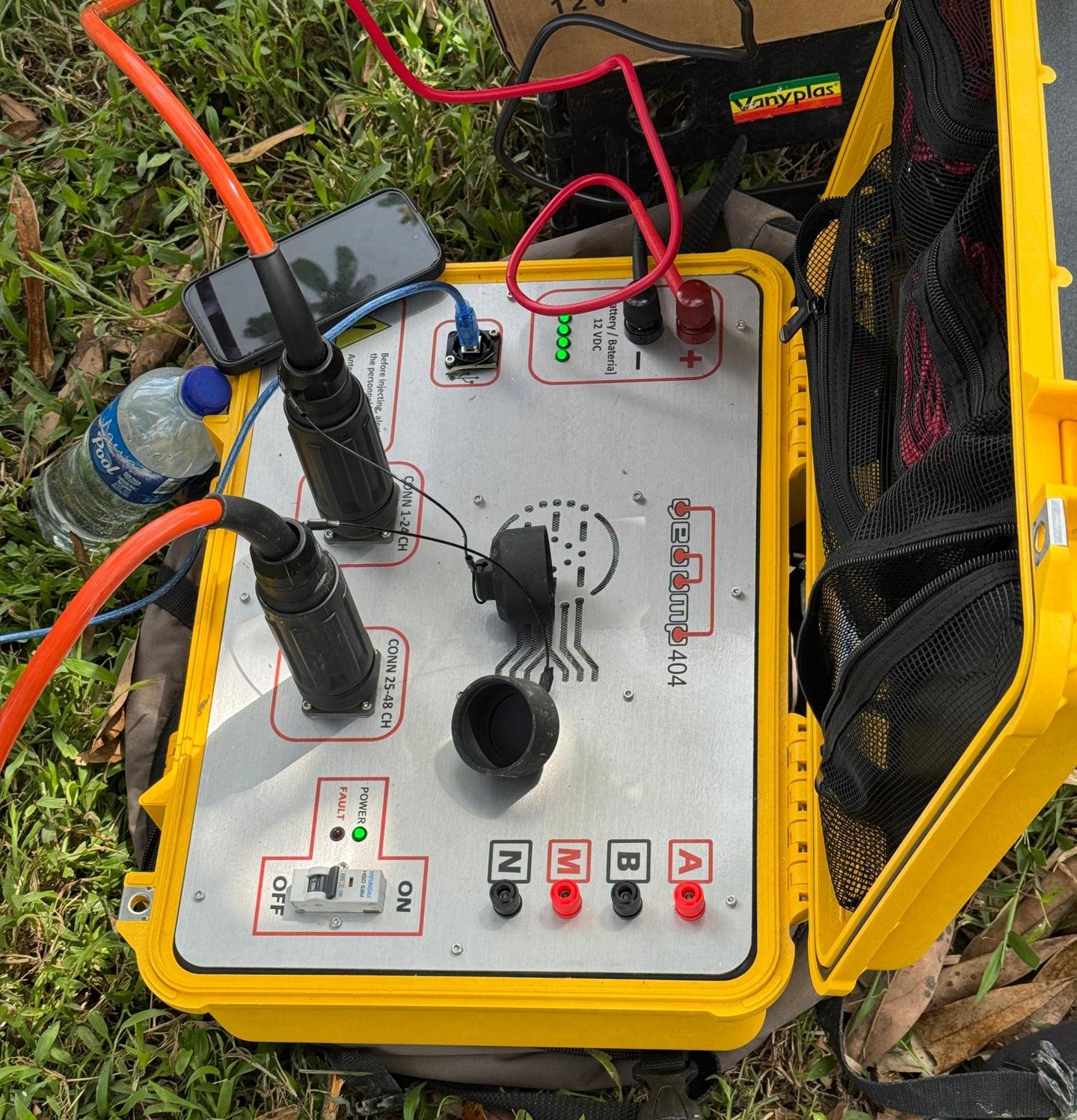

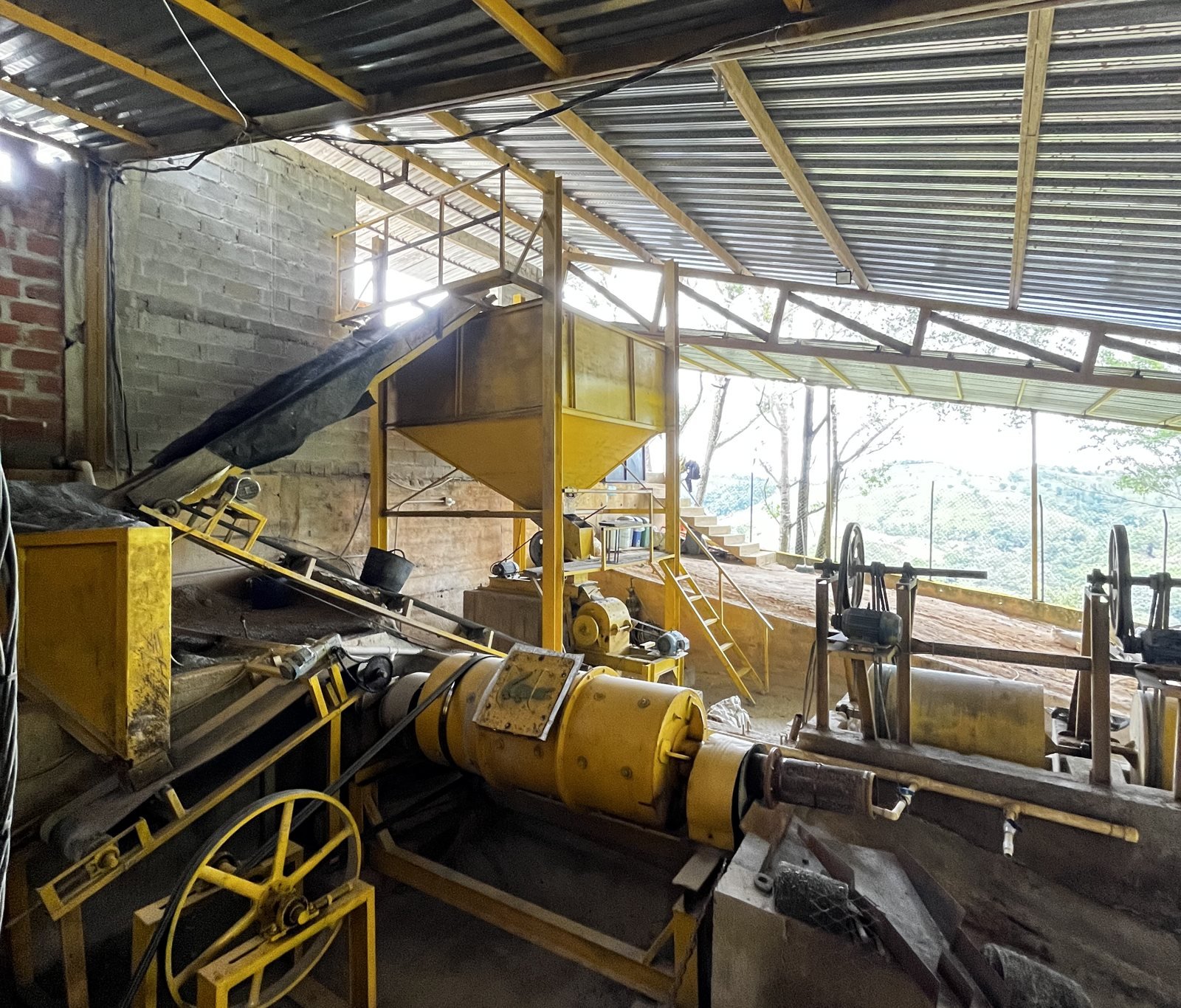
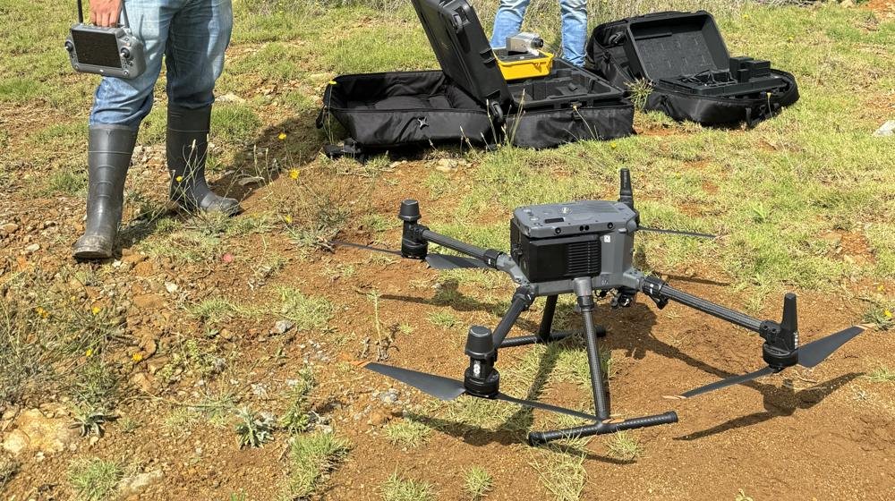
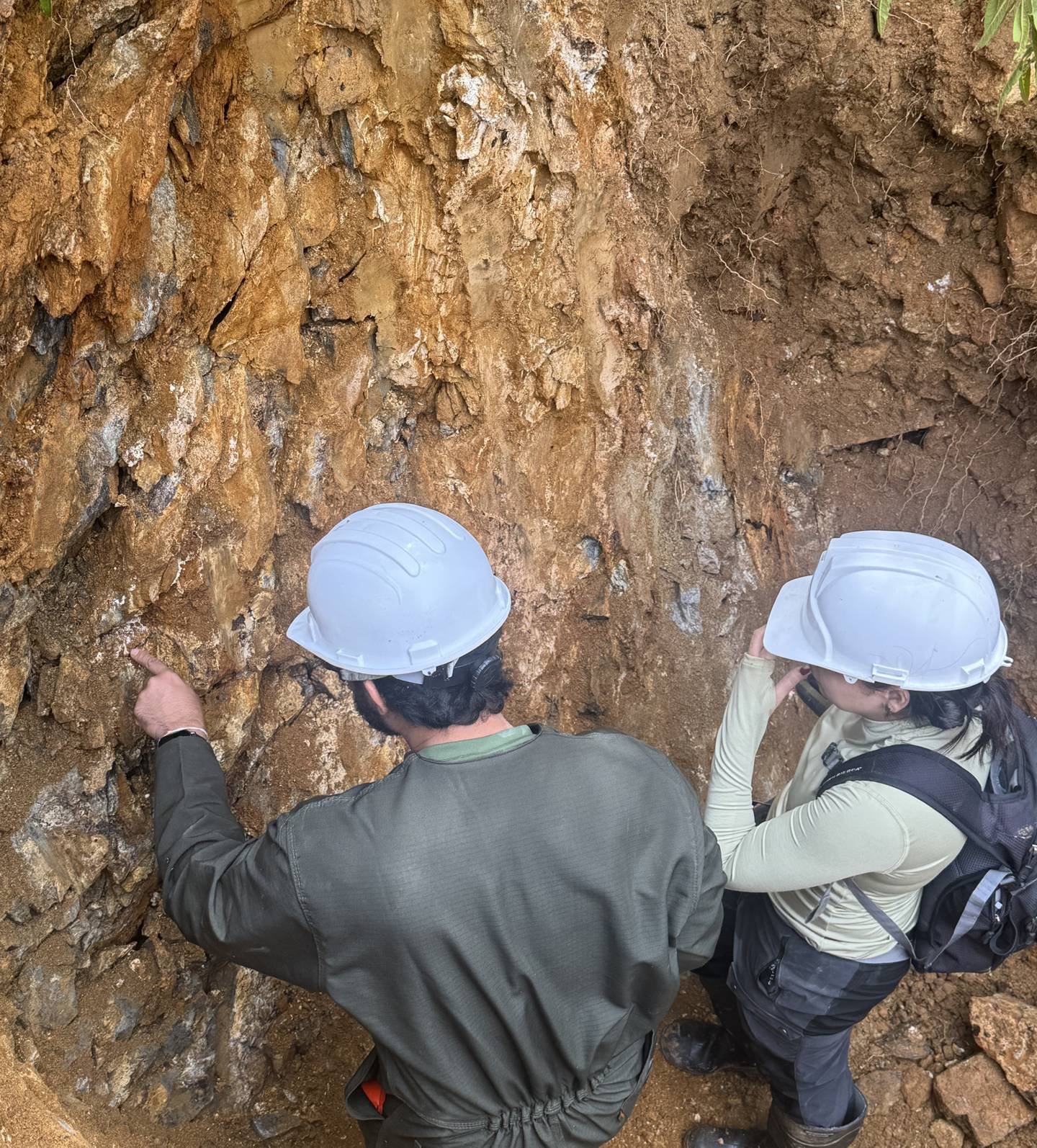
Geophysics measures subsurface properties from the surface, without the need to excavate. What it records is not the mineral but the contrasts between materials, and those contrasts, read together with the geology of the area, help decide where to drill or reveal what lies beneath a slope or a road.
The methods and what each one measures
Each method responds to a different property of the subsurface, and the choice depends on the question to be answered:
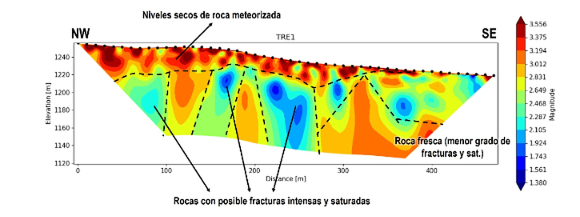
- Electrical resistivity tomography: distinguishes fresh rock from fractured rock, water-bearing zones, clays and some faults.
- Induced polarization: responds to disseminated sulphides, so it is applied in sulphide-associated gold and in polymetallic deposits.
- Magnetometry: measures variations in the magnetic field produced by minerals such as magnetite, and is used to trace contacts, faults and alteration zones.
- Seismic refraction: estimates the thickness of the soil covering fresh rock.
- Ground-penetrating radar: offers high detail at shallow depth.
In exploration, targeting drilling
Drilling is the most expensive stage of exploration and the only one that confirms what lies underground. Geophysics guides it, because it allows holes to be placed on the anomalies worth testing. An anomaly, however, is not a deposit, since it may be caused by graphite, clay or water, which is why every result is interpreted together with geological mapping and sampling.
In geotechnics, slopes, cavities and water
Seismic and resistivity surveys indicate the depth of competent rock, a figure that feeds the stability analysis of slopes and waste dumps. Ground-penetrating radar and resistivity can also detect cavities and old unrecorded workings, something worth knowing before operating or building over them.
From the survey to the interpretation report
We start from the objective of the survey, which may be to explore or to characterize ground for design, and with that we define the method and the survey lines. Data acquisition is carried out by a partner team, and we deliver the data, the sections, the anomaly maps and a report that integrates the geology. Because we also carry out drilling, the same team designs and interprets the survey.


