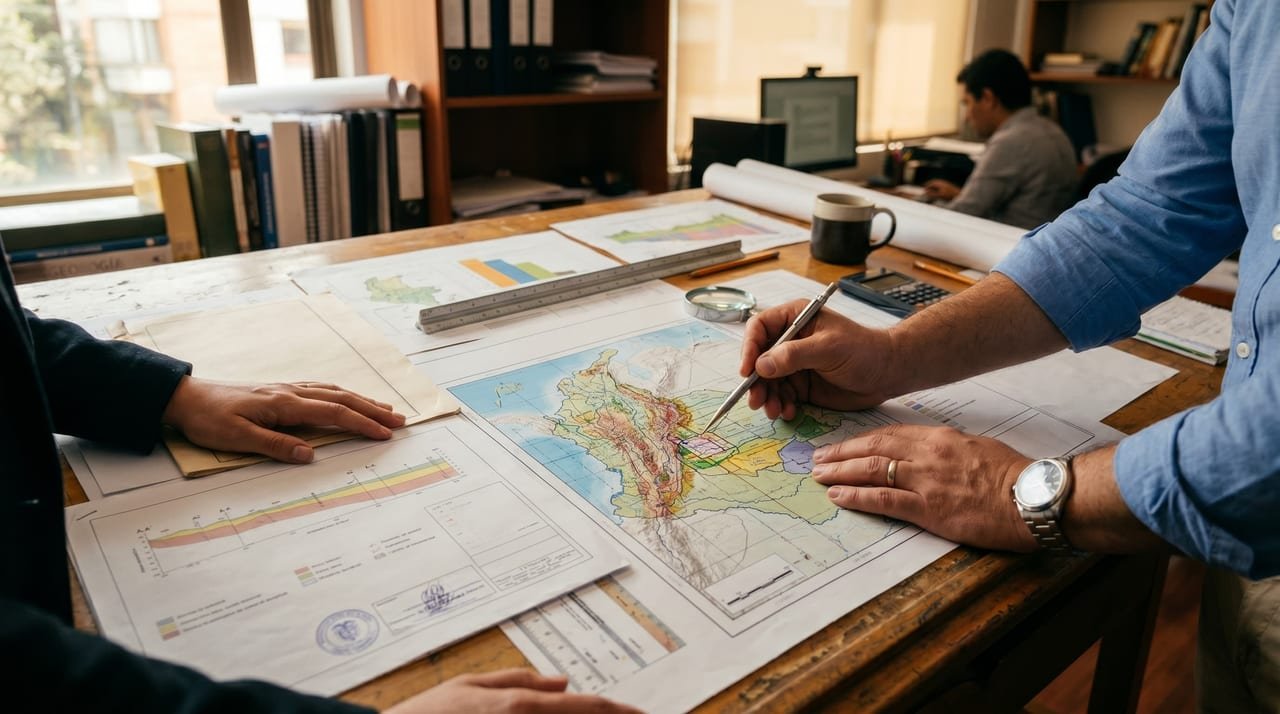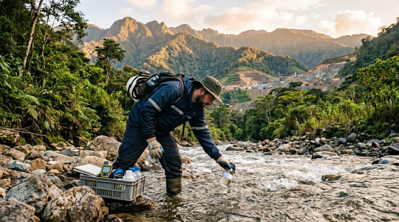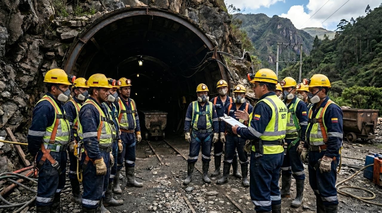
Surveying underlies almost everything a title holder submits to the Mining Authority. The title area, the PTO maps, the volumes extracted and the environmental and closure maps all depend on it, so a measurement error carries through to every one of those documents.
Title area and official coordinates
The law defines the area of a title as a polygon with boundaries referenced to the national geodetic network, and at the end of exploration the holder submits the definitive delimitation of the zone to be mined. Applications are evaluated on the mining grid and official surveys are delivered in the Origen Nacional system. Since 2023 the Mining Authority also calculates title areas in that system.
Maps of workings and volume calculation
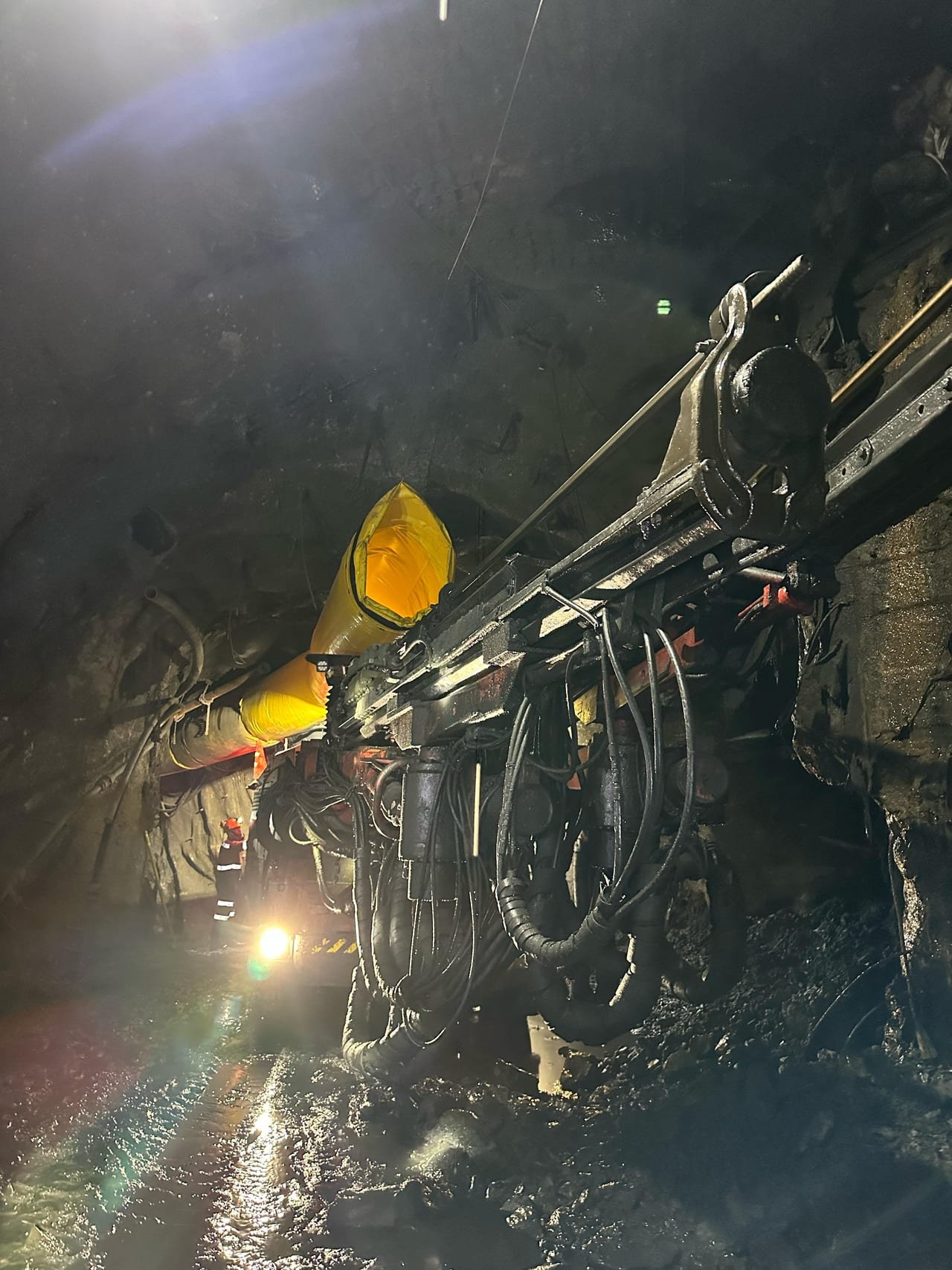
The PTO needs the topography of the terrain and of the existing workings in order to design the new ones, and what is surveyed depends on the mining method:
- Underground mining: drifts, inclines and working faces are surveyed.
- Open pit: benches, slopes, waste dumps and roads are surveyed.
- Progress control: two surveys of the same face on different dates give the volume removed between them.
That volume is compared with the production report and the declared royalties, so an imprecise measurement creates differences that later have to be explained.
Drone, LiDAR and ground control points
A drone covers large or hard-to-reach areas with less time in the field, and the flight yields orthophotos, digital terrain models and point clouds. LiDAR additionally models the terrain beneath vegetation. Flights are governed by the Civil Aviation Authority's unmanned aircraft regulation, and precision depends on control points measured on the ground, which the drone does not replace.
From the measurement to the document that needs it
We define with you what must be measured and for which document, because surveying to delimit a title is not the same as surveying for a production report. The surveys are carried out by a partner surveying team, and Cronium integrates their results into the PTO, the production report, the environmental study or the closure plan. You receive maps, orthophotos, terrain models and volumes in official coordinates.
Legal framework
- Law 685 of 2001, arts. 65, 66, 69 and 82Delimitation of the concession contract area
- Law 1955 of 2019, art. 24Evaluation of applications on the mining grid
- Resolution 370 of 2021 of the Agustín Codazzi Geographic InstituteOrigen Nacional, the official plane coordinate system
- External Circular 001 of 2023 of the National Mining AgencyTitle areas calculated in Origen Nacional
- Resolution 371 of 2024 of the National Mining Agency, amended by Resolution 3749 of 2025Production reporting in the Production Control system
- RAC 100 of the Civil Aviation AuthorityOperation of unmanned aircraft (drones)
Regulations reviewed in October 2026. This is general guidance; the decision on each procedure rests with the competent authority.